Santa Maria Airport (SMA)
Orientation and Maps
(Santa Maria, Portugal)
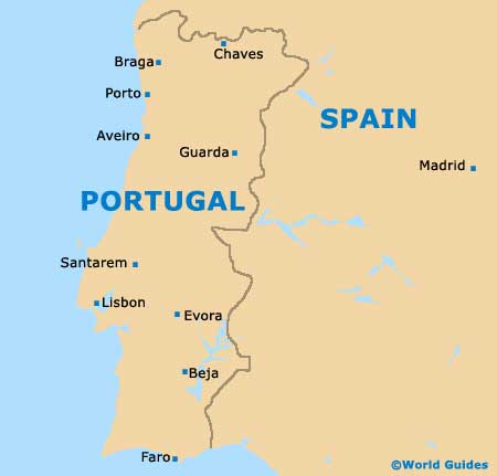
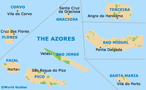
One of Portugal's popular Azores (Açores) islands, Santa Maria is located in the Atlantic Ocean. To the west of mainland Portugal, Santa Maria is one of nine separate islands and is the most southerly of the group.
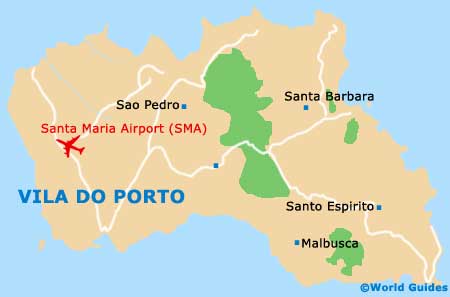
Known locally as the 'Aeroporto de Santa Maria', the busy Santa Maria Airport (SMA) is situated on the western side of the island and close to Vila do Porto, which is a particularly historic town.
Santa Maria Airport (SMA) Maps: Important City Districts
Vila do Porto features a particularly scenic port and has been built around its fishing industry. A number of attractions are based in the town, often being close to the main public square.
Within Vila do Porto on the Santa Maria Island, districts include Almagreira, which is located on the north-western side of the town and has a population of around 600. Nearby, the neighbourhood of Santo Espirito is located on the south-eastern coastline and features approximately 800 inhabitants and an important agricultural industry.
Other regions of Vila do Porto include Santa Bárbara, which is the smallest district and home to a population of just over 400, Sao Pedro, with around 900 locals and a thriving fishing economy, and the main Vila do Porto parish itself, featuring a population of more than 3,000.
The island of Santa Maria boasts a number of extremely old houses, some of which date back to the 16th century. Of particular interest are the Alentejana houses, which feature large and eye-catching chimneys.
Portugal Map
Azores Map
Santa Maria Island Map

Vila do Porto Map